
Guarantor: Ing. Roman Przybyla
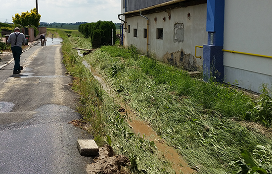
Studies of runoff conditions form the basis for preparing a plan of common facilities within the framework of planned land consolidations for evaluating existing runoff conditions in the area (flood basin), necessary for proposing flood and erosion control measures. A technical solution for the selected proposals can be incorporated into the study.
Who is this service intended for
Our clients are municipalities, cities, micro-regions, associations of committees and companies.
Service contents
We offer the preparation of studies of runoff conditions according to client needs within the scope of a specific location, cadastral area or micro-region. The study includes flood and erosion control measures that can be processed up to the level of a more detailed technical solution, including an estimated budget and timetable for implementation. We generally work with data from the Czech Hydrometeorological Institute (CHMI), surveys, digital models of the terrain (5G, 4G) and hydrological models for determining runoff.
The study of runoff conditions particularly includes
- analysis of the threats from soil and wind erosion,
- analysis of rainfall and runoff conditions,
- analysis of existing documentation, including spatial planning documentation,
- proposal of a comprehensive system of flood and erosion control measures,
- evaluation of the effectiveness of the proposed measures,
- consultation with the concerned authorities, users, land owners and watercourse administrators.
Experience
- Feasibility study for the implementation of nature-friendly flood control measures in the region of the Orlicko Association of Communities, 2012–2013
- Feasibility study for the implementation of nature friendly flood control measures in the municipality of Bohuslavice, 2012-2014
- Feasibility study for the implementation of nature friendly flood control measures in the Holešovsko Micro-region, 2013-2015
- Feasibility study for the implementation of nature friendly flood control measures in the municipalities of Hradec nad Moravicí, 2013-2015
- Feasibility study for the implementation of nature friendly flood control measures in the municipalities of Vřesina, Hať and Darkovice, 2013-2014
- Feasibility study for the implementation of nature friendly flood control measures in the Rožnovsko Micro-region, 2014-2015
- Study on runoff conditions (cadastral area of Nedanice, Nedaničky, Třebýcina, Kroměždice, Myslovice, Předslav, Měcholupy u Předslavi and Makov u Předslavi), 2015


 Jsem na Facebooku