
Guarantor: Ing. Michal Brokl
Land consolidation forms a unique and comprehensive tool for addressing property issues that inhibit the rational management of the landscape and protection of its components. It can effectively contribute to the use of the land in terms of:
- providing access to land both for agricultural purposes and to the public,
- arranging, combining or dividing up parcels for their more efficient use,
- addressing the causes and effects of wind and water erosion, which leads to irreparable damage to valuable agricultural land,
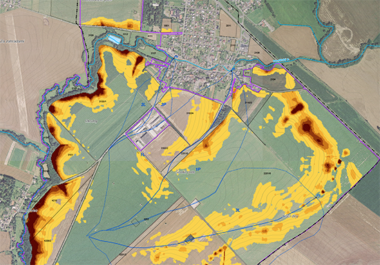
- limiting the consequences of torrential rains, successive loss of soil and damage to property,
- implementing appropriate measures proposed by e.g. a spatial plan that has failed to be implemented due to the problems with land parcels ownership,
- eliminating complications in land development caused by inaccurate cadastral maps: land consolidation results in a digital cadastral map in the third class of accuracy, which corresponds to the state of the terrain.
We have been involved in land consolidations since 2001, and this makes us able to provide mayors, farming entities and residents with effective assistance in tackling their problems in non-urban parts of the area. We can explain how to get started with land consolidation and how to start the procedure at the local branches of the State Land Office.
Service contents
- Preparing simple land consolidation (JPÚ)
- Preparing comprehensive land consolidation (KoPÚ)
Who is this service intended for
The key client is the State Land Office.
Experience
- KoPÚ Olbramice, 2004–2007
- KoPÚ Kamenec and Štemplovec, 2008–2013
- KoPÚ Větřkovice and Nové Vrbno, 2009–2015
- KoPÚ Vražné u Oder, 2009–2013
- KoPÚ Mikolajice, 2009–2013
- KoPÚ Bohuslavice u Hlučína, 2009–2014
- KoPÚ Kujavy, 2009–2014
- KoPÚ Neplachovice, 2010–2015
- KoPÚ Čaková, 2008–2014
- KoPÚ Košetice ve Slezsku, Malé Heraltice and parts of Velkých Heraltice, 2009–2016
- KoPÚ Budišov nad Budišovkou, 2011–2016
 Jsem na Facebooku