
Guarantor: Ing. Eva Birgusová
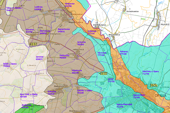
This network consists of basic compositional parts – natural habitats and corridors. According to importance and representativeness, ŮSES is defined on a local, regional and supra-regional level, where the backbone of the supra-regional ÚSES is developed and supplemented by a regional and local ÚSES.
The main purpose of this delimitation is to subsequently incorporate it into planning material and documentation. The ÚSES plan is the basic prerequisite and first step towards securing the area for the realization of ÚSES protection and the desired strengthening of the ecological stability of the region.
Service contents
Based on the experience we have with ÚSES solutions as integral components of other projects, primarily plans of the common facilities within the processing KoPÚ and territorial landscape studies, we are able to offer
- plans, updates and revisions for ÚSES and
- elaborating ÚSES within the framework of wider construction projects.
Who is this service intended for
Our clients are primarily regions, municipalities and the Nature Conservation Agency of the Czech Republic (NCA CR)
Zkušenosti
- Regional plan for ÚSES for the Pardubicko region, 2005–2007
- Updating supra-regional ÚSES, 2009–2010
- Revising and updating the general plan of ÚSES ZK – for the district of Uherské Hradiště, 2009–2010

 Jsem na Facebooku